Home Insurance in Pearsall, Texas
Homes in Pearsall carry a median value of $106,700 - close to the Frio County median.
Older homes can cost more to insure or rebuild because of aging wiring, roofing and plumbing. The typical home in Pearsall was built around 1978. About 14% of homes were built before 1960, about 2 points above Frio County's 13%.
Mobile and manufactured homes typically need a manufactured-home (HO-7) policy rather than a standard homeowners policy. The housing stock in Pearsall is 61% single-family homes, 7% apartments in buildings with 5+ units and 14% mobile or manufactured homes. The rest are 2-4 unit or other housing types.
34% of owner-occupied homes in Pearsall carry a mortgage, and mortgage lenders require hazard insurance for as long as the loan is active.
The vacancy rate is 11%; vacant or unoccupied homes typically need a different coverage form than an owner-occupied policy. About 55% of occupied homes in Pearsall are owner-occupied.
In Pearsall, 77% of homes are primarily heated with electricity.
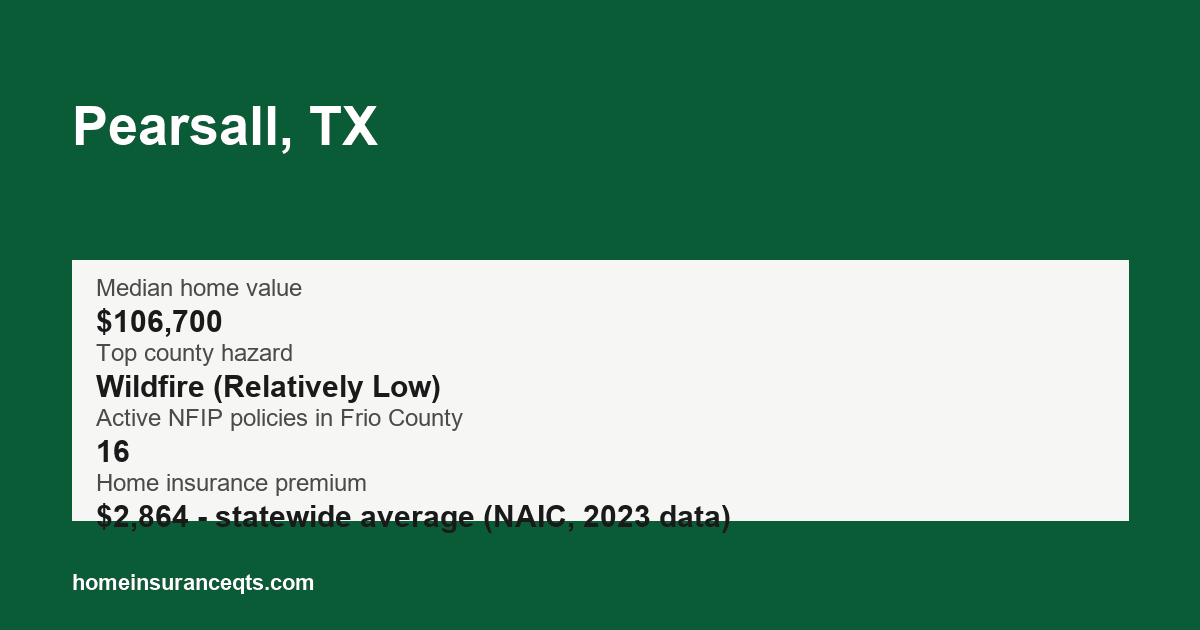
What's the biggest home insurance risk near Pearsall? FEMA's National Risk Index points to wildfire (Relatively Low) in Frio County and Frio County had 16 active NFIP flood policies as of September 2026. See the full Frio County home insurance overview for all FEMA hazard ratings and flood coverage details.
According to the NAIC homeowners insurance report (2023 data), a standard HO-3 homeowners policy in Texas carries a statewide average premium of $2,864 per year.
This area lists 1 licensed insurance agencies.
Key figures
| Median home value | $106,700 |
|---|---|
| Median year built | 1978 |
| Owner-occupied share | 55% |
| Share of owner-occupied homes with a mortgage | 34% |
| Top county hazard | Wildfire (Relatively Low) |
| Active NFIP policies in Frio County | 16 |
| Home insurance premium | $2,864 - statewide average (NAIC, 2023 data) |
Licensed insurance agencies in Pearsall
- AGRI-INSURANCE INC, Pearsall (General Lines Agency)
Data source: Texas Department of Insurance - licensed agencies, https://data.texas.gov/d/3yqc-fcdt
Nearby towns
Sources
Data last updated: 2026-09-29
- U.S. Census Bureau Gazetteer Files (2024)
- U.S. Census Bureau, American Community Survey 2020-2024 5-Year Estimates (2024)
- FEMA National Risk Index (December 2025)
- FEMA OpenFEMA NFIP Redacted Policies v3 (2026)
- NAIC Dwelling Fire, Homeowners Owner-Occupied, and Homeowners Tenant and Condominium/Cooperative Unit Owners Insurance: Data for 2023 (published 2026) (2023)
- Texas Department of Insurance - licensed agencies (2026)